

Post by 1dave on Jul 15, 2020 10:44:10 GMT -7
Reading the Waves

Long ago many islands were populated by daring people that learned how to find Islans by "feeling the way their boats moved"!

Review
www.abebooks.com/servlet/SearchResults?sts=t&cm_sp=SearchF-_-home-_-Results&kn=&an=David+Lewis&tn=We%2C+the+Navigators&isbn=
Intensely thorough ... An exhaustive examination of the pre-European navigational system which should fill any scholar's need ... Succeeds admirably. Source: The Northern Mariner
The strength of this work lies with the islanders who instructed Lewis in their techniques of navigation.... Lewis successfully distills abstract navigational concepts into a well-organized and interesting text.... We, the Navigators is a work of great depth, and one of the most detailed investigations of an ancient art that is being lost forever. Through it one gains insight into the rich history of long-distance and inter-island voyaging in the Pacific. Source: Mariners' Museum Journal
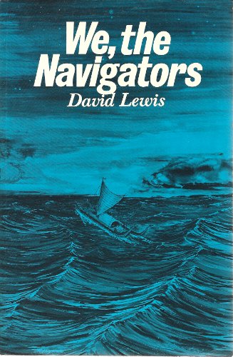
We the Navigators
PART ONE; The Puzzle
1 Rediscovering of a Vanishing Art . . . . 3
2 Piecing the Mosaic . . . . . . . . . . . . . . . 19
PART TW0; Directing the Craft
3 Voyaging Canoes . . . . . . . . . . . . . . . . . . .. . . 53
4 Steering by the Stars . . . . . . . . . . . . . . .. . . . . 82
5 Keeping Course hy Sun, Swells, and Wind . . 123
PART THREE Orientation on the Empty Ocean
6 Dead Reckoning . . . . . . . . . . . . . . . . . .. . . 139
7 Orientation Concepts in Dead Reckoning . . 167
PART FOUR: Expanding Ones Target and Position Fixing
8 Island Blocks, Birds, and Clouds . . . . . . . 195
9 Swell Patterns and Phosphorescence . . .. . 224
10 Expanded Target Landfall in Practice . . 262
##########################################################################
Stick Charts
Navigators taught their children how to feel by building "stick charts" with attached rocks or shells to designate the locations of islands, and explained how to interpret the feel of different waves and observe clouds, birds, drifting material.
Stick charts were made and used by the Marshallese to navigate the Pacific Ocean by canoe off the coast of the Marshall Islands. The charts represented major ocean swell patterns and the ways the islands disrupted those patterns, typically determined by sensing disruptions in ocean swells by islands during sea navigation. Most stick charts were made from the midribs of coconut fronds that were tied together to form an open framework. Island locations were represented by shells tied to the framework, or by the lashed junction of two or more sticks. The threads represented prevailing ocean surface wave-crests and directions they took as they approached islands and met other similar wave-crests formed by the ebb and flow of breakers. Individual charts varied so much in form and interpretation that the individual navigator who made the chart was the only person who could fully interpret and use it. The use of stick charts ended after World War II when new electronic technologies made navigation more accessible and travel among islands by canoe lessened.
The stick charts typically fall into three main categories: mattang, meddo (or medo), and rebbelib (or rebbelith).
Mattang charts
The mattang stick chart was an abstract chart used for instruction and for teaching principles of reading how islands disrupt swells.
Meddo charts
The meddo chart showed actual islands and their relative or exact positions. Meddo charts also showed the direction of main deep ocean swells, the way the swells curved around specific islands and intersected with one another, and distance from a canoe at which an island could be detected. The meddo chart portrayed only a section of one of the two main island chains.
Rebbelib charts
Rebbelib charts portrayed the same information as a meddo chart, but the difference lies in inclusiveness of the islands. Rebbelib charts, unlike meddo charts, included all or most of one or both chains of islands.
Passing on stick chart knowledge
Stick charts were not made and used by all Marshall Islanders. Only a select few rulers knew the method of making the maps, and the knowledge was only passed on from father to son. So that others could utilize the expertise of the navigator, fifteen or more canoes sailed together in a squadron, accompanied by a leader pilot skilled in use of the charts.
It was not until 1862 that this unique piloting system was revealed in a public notice prepared by a resident missionary. It was not until the 1890s that it was comprehensively described by a naval officer, Captain Winkler of the Imperial German Navy.[2][3] Winkler had been the commander of the SMS Bussard, stationed in 1896 in the Marshall Islands which, during that period, were under German rule; he subsequently described the system in an 1898 publication. Winkler became so intrigued by the stick charts that he made a major effort to determine navigational principles behind them and convinced the navigators to share how the stick charts were used.

