|
|
Post by Admin on Aug 18, 2022 18:12:02 GMT -7
waterdata.usgs.gov/ut/nwis/rtStatewide Streamflow Table Current data typically are recorded at 15- to 60-minute intervals, stored onsite, and then transmitted to USGS offices every 1 to 4 hours, depending on the data relay technique used. Recording and transmission times may be more frequent during critical events. Data from current sites are relayed to USGS offices via satellite, telephone, and/or radio telemetry and are available for viewing within minutes of arrival. All real-time data are provisional and subject to revision. Build Current Conditions Table Show a custom current conditions summary table for one or more stations. Build Time Series Show custom graphs or tables for a series of recent data for one or more stations. 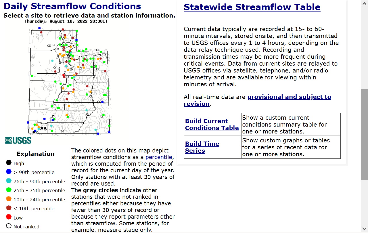
|
|

