Post by 1dave on Jan 5, 2021 13:07:34 GMT -7
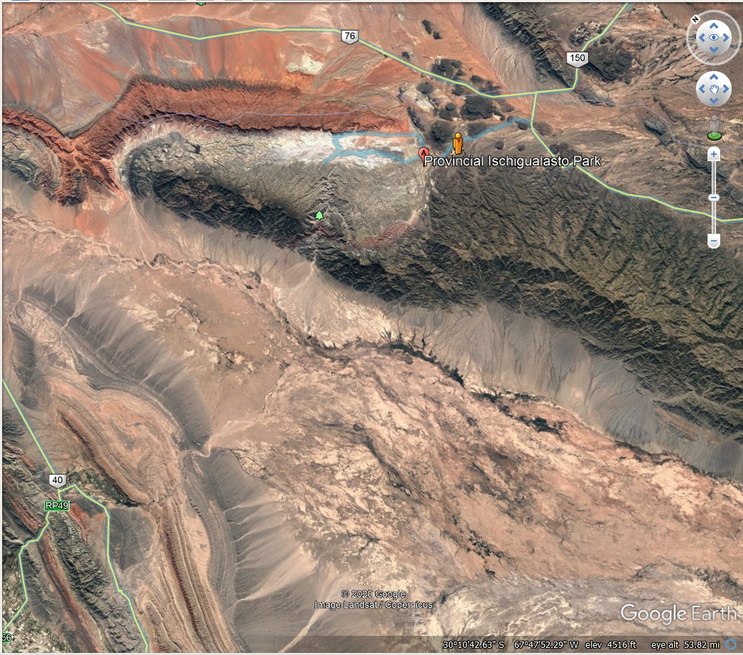
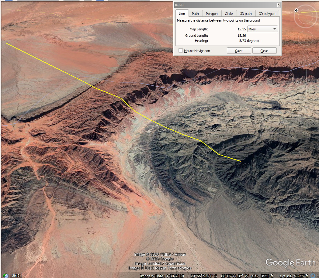
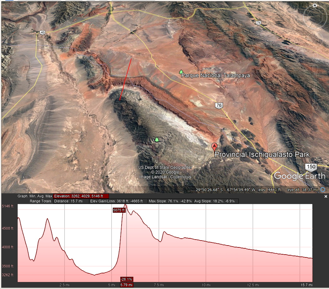
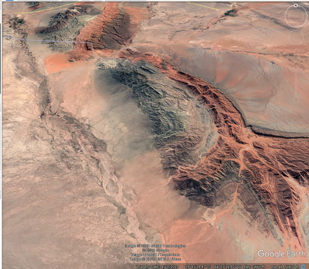
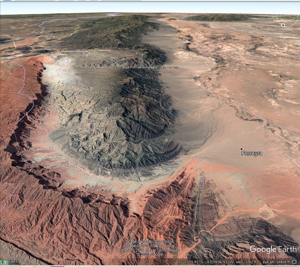
Ischigualastro Park "Valley de La Luna"
Location:
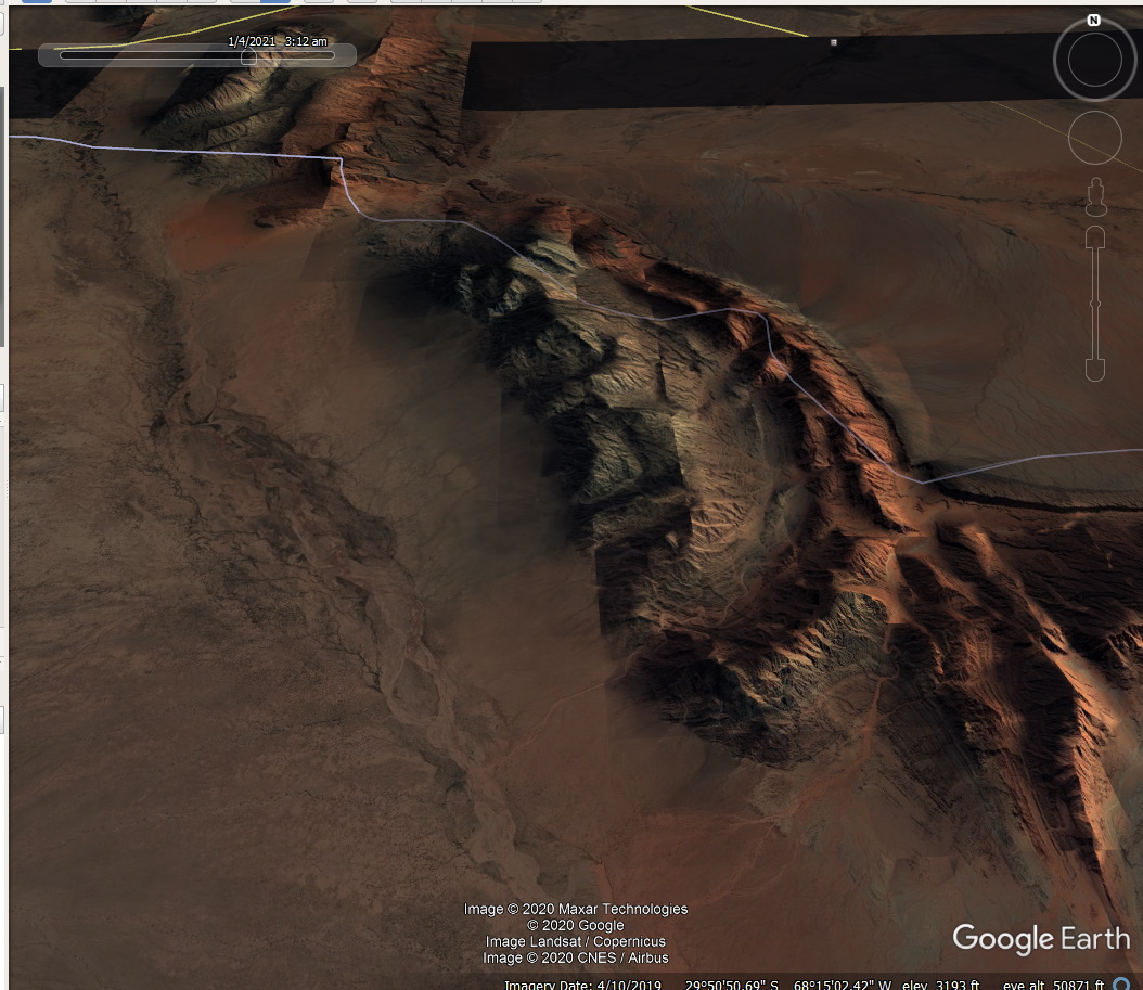
Another View (this is so easy using Google Earth and Cloudinary!)

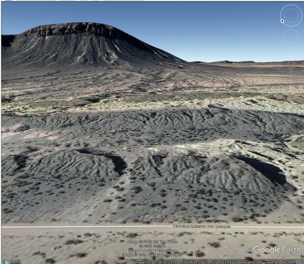
This is a very old site, possibly older than 500 million years (it is filled with dinosaur fossils) and possibly Originally created by a large iron asteroid. It is around ten miles wide.If so, The object would have vaporised.
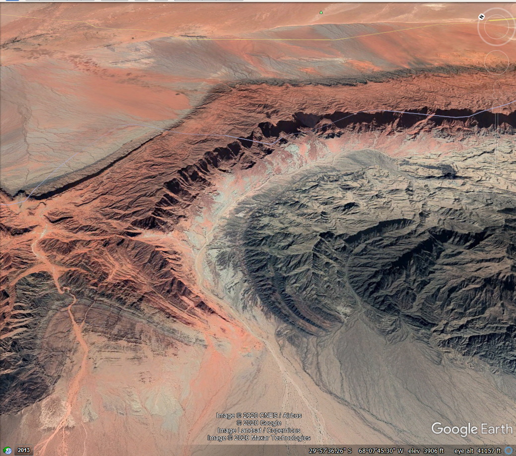
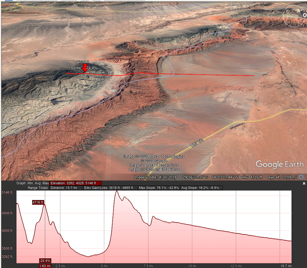
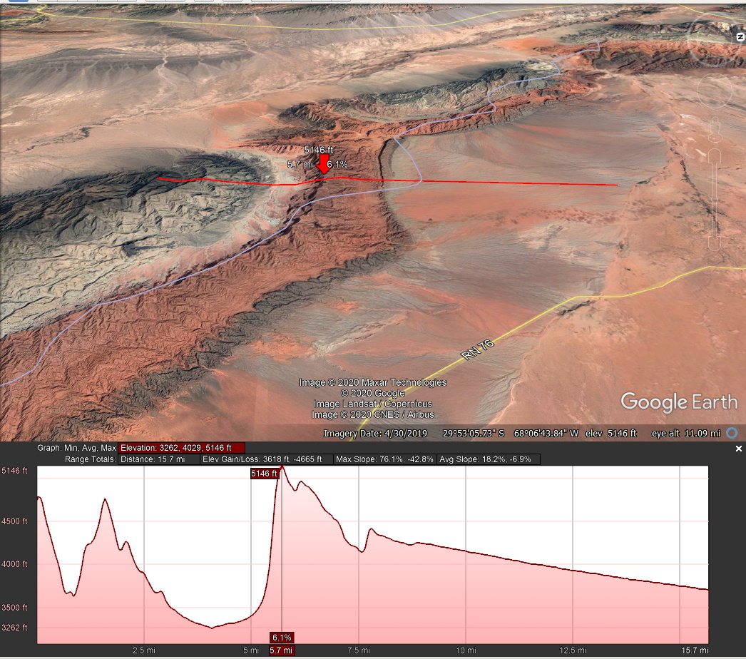
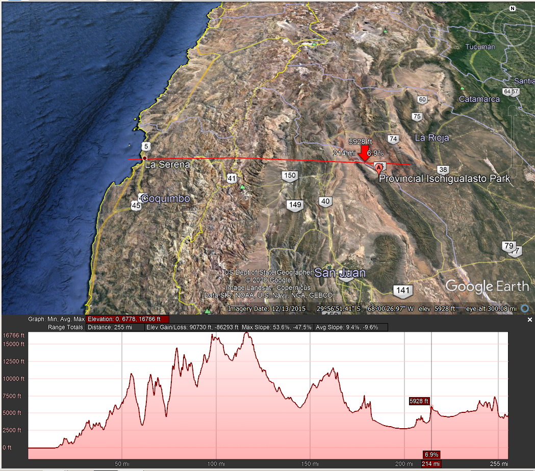
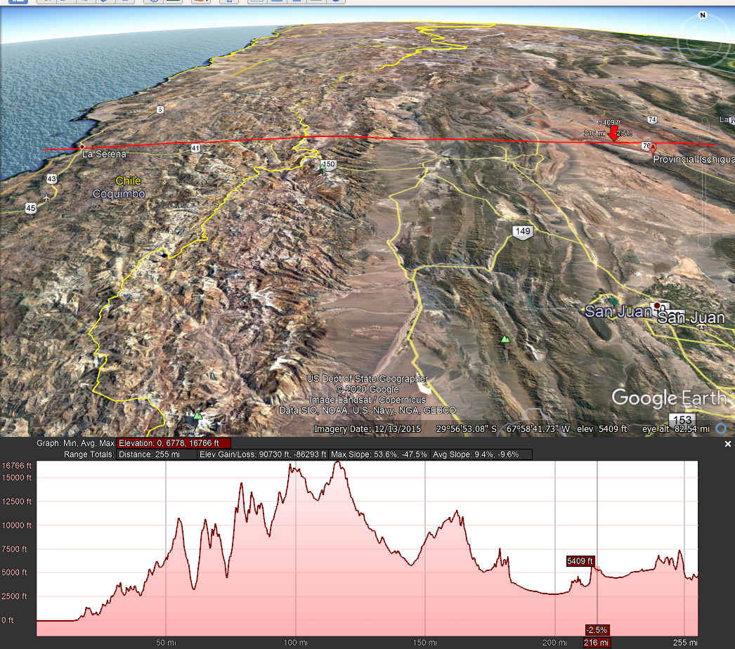
AFTER they were formed, the Andes Mountains wee pushed up. the 250 mile long red line runs from Pacific ocean level of 0 to over 16,000 feet.
The red arrow is pointing to the Park.
www.turismoruta40.com.ar/en/ischigualasto-park.html
Ischigualasto Provincial Park - UNESCO World Heritage Site
Last Updated: 27.Jul. 2019
"Top 10 attractions Ruta 40".
Ischigualasto was designated a UNESCO World Heritage Site together with the adjoning Talampaya National Park.
Its gray, red, ochre and white rocks hold unique fossils from the Triassic Period, including the oldest dinosaur remains that have been discovered. It also has many curiously shaped rocks eroded by the wind.
Learn all about its geology, origin, attractions. Find out where it is, when to visit it and where to find accommodation nearby.
rock shaped like a submarine at Parque Ischigualasto
"The Sumbarine", eroded rock at Ischigualasto Park, San Juan. A. Whittall
Valley of the Moon Ischigualasto "Moon Valley"
Provincial Park UNESCO Site
"One of the best 10 Attractions on Argentina's Ruta 40"
The Ischigualasto Provincial Park is unique, it is the only place in the world where Triassic continental sediments can be found. They are ash, white, gray, red and vermillion colored rocks, with fossils of reptiles and dinosaurs.
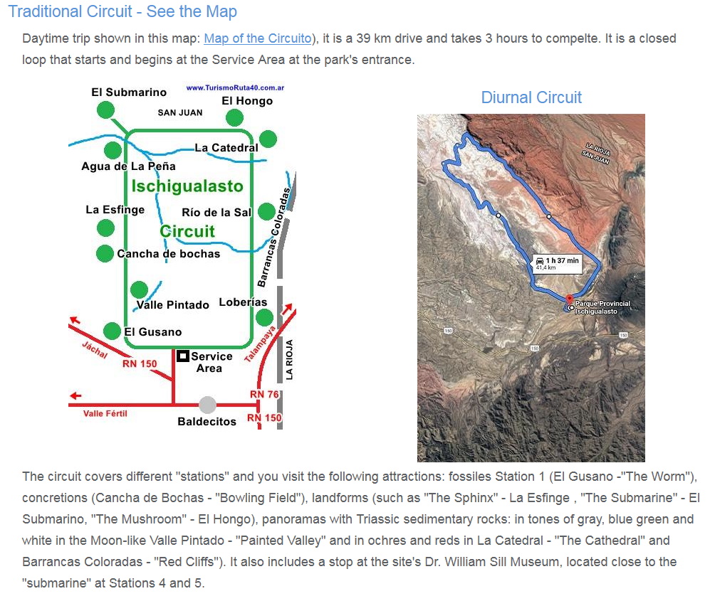
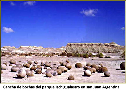
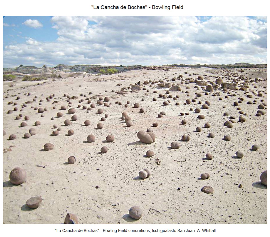
Odly shaped rocks known as landforms with names that resemble their shapes: The Submarine, The Mushroom, the Bowling Field and the remains of the oldest dinosaur are some of the attractions of this World Heritage Site.
It is quite close to Ruta 40 which passes nearby, to the west, through Jáchal and Huaco in San Juan.
Read about the geology here:
www.turismoruta40.com.ar/en/talampaya-park.html#geology


What first caught my attention about this site was the presence of Iron Concretions like those found around other impact sites like Reis in Germany and Upheaval Dome (Moqui Marbles) in Utah.
That is when I started searching.


Present accepted explanation - This was all decided back before there were "ANY impacts on earth."
en.wikipedia.org/wiki/Ischigualasto-Villa_Uni%C3%B3n_Basin
The Ischigualasto-Villa Unión Basin (Spanish: Cuenca de Ischigualasto-Villa Unión) is a small sedimentary basin located in the Argentine Northwest, Argentina. It is located in the southwestern part of La Rioja Province and the northeastern part of San Juan Province. The basin borders the Sierras Pampeanas in the east, the western boundary of the basin is formed by the Valle Fértil Fault, bordering the Precordillera, and it is bound in the southeast by the El Alto Fault, separating the basin from the Marayes-El Carrizal Basin.
The basin started forming in the Late Permian, with the break-up of Pangea, when extensional tectonics, including rifting, formed several basins in Gondwana; present-day South America, Africa, Antarctica, India and Australia. The accommodation space in the Ischigualasto-Villa Unión Basin was filled by an approximately 3.5 kilometres (11,000 ft) thick succession of volcaniclastic, eolian, alluvial, fluvial and lacustrine deposits in various geologic formations. The Cenozoic evolution of the basin is mainly influenced by the Andean orogeny, producing folding and faulting in the basin.
The basin is of paleontological significance as it hosts several fossiliferous stratigraphic units providing many fossils of early dinosaurs, synapsids, turtles, mammals, the earliest crocodylomorphs, fish, amphibians and flora, as well as ichnofossils. The Ischigualasto Provincial Park and Talampaya National Park in the basin were designated UNESCO World Heritage Sites in 2000.
The stratigraphy goes back to Precambrian times.

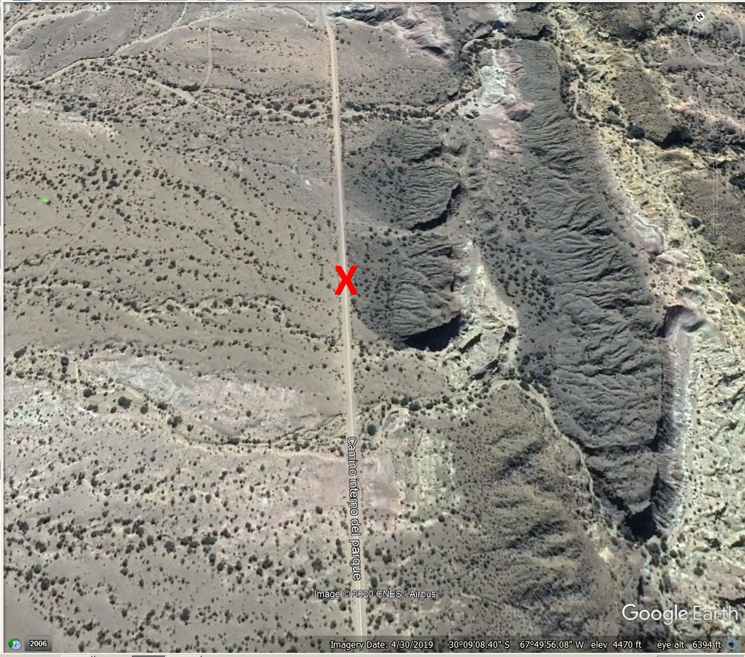
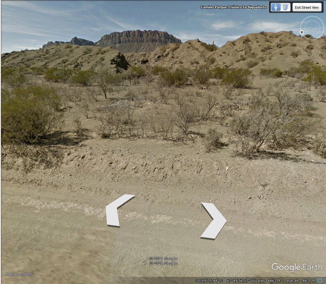
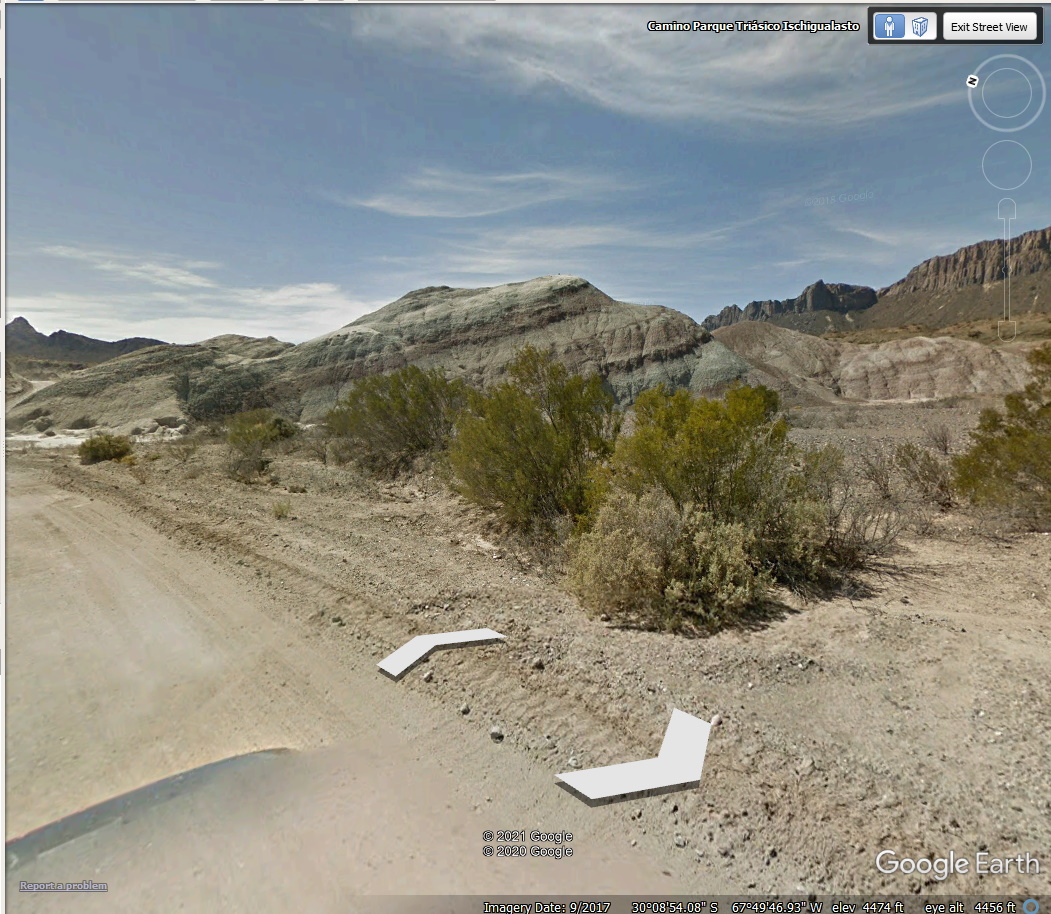
I was Googling down the road and . . .
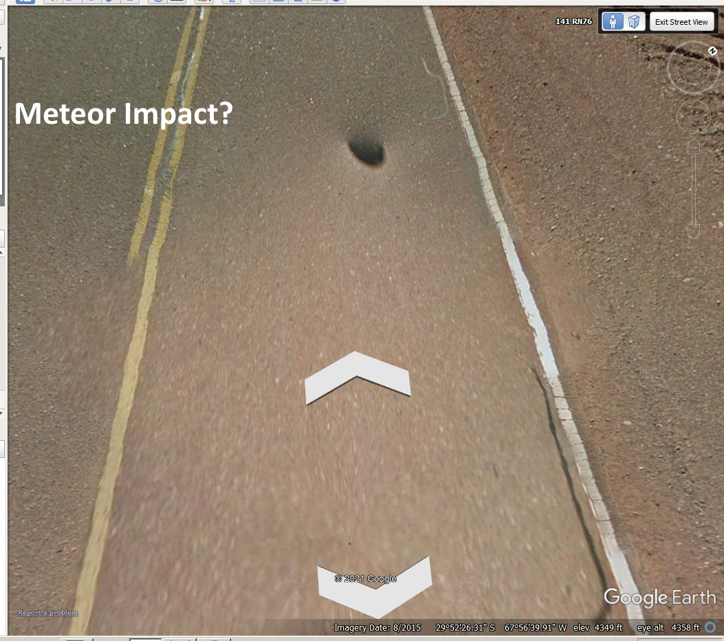
I backed up but . . .
I think Google is now blanking out vehicles.